Three adventurous hikes in Iceland

discover iceland
Two people hiking next to a big waterfall
Hikers next to great waterfall

Iceland is an outdoor paradise for sportive people. Be it summer or winter, hiking in Iceland is a must. To be honest, we think it is the best activity in Iceland.

Every valley, every hill, or mountain can be the setting of a memorable hike. Some are more famous than others, for instance, Þorsmörk or Landmannalaugar. If there is no need to present these hikes, you will find countless pictures and testimonies of the splendor of this place, here is three less known hikes.

Before you go, be sure to read our tips for a safe hike. Just to be sure.

The Hólmatungur valley

River flowing through mountains known as Karl and Kerling
Karl and Kerling

Hólmatungur is an oasis area in the canyon of the glacial river Jökulsá in the Vatnajökull national park. Cutting through the rocky plains of northeast Iceland, the river, who originate at the roots of the Vatnajökull glacier, flows down this valley. The gorge is decorated with many flowers of various colors, rivers, brooks, and streams. The catastrophic floods that created this canyon left lots of beautiful basaltic columns and other rock formations.

According to the legend, a widow, who lived in the lowlands, decided to try to escape the bubonic plague, which struck the country in the past. She and her people moved to Hólmatungur with provisions to last them a long time. When they were on the brink of starvation the shepherd was slaughtered but not eaten because the widow, who was a stocky woman, decided to move back home. She was afraid, that she might be the next one on the menu.

How to get there

The proposed hike is not a circle but a route down the valley from the Hólmatungur parking lot to the Vesturdalur camping site further down. The best way to arrive there is to take the Scheduled bus service from SBA and ask the driver to stop at Hólmatungur. From there, a marked path guides you along the canyon. You can download a good map from the Vatnajökull national park website here (PDF).

Time: 3h30 – 04:00
Distance: 10 kilometers

Skaftafellsheiði
Sign that sais Sjónarnípa with glacier in background
Sjónarnípa

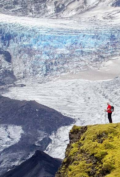
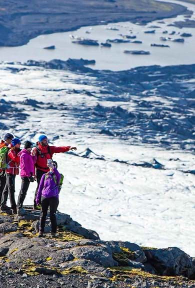
Surrounded by two famous glaciers, Skaftafellsjökull and Skeiðarárjökull, this hike has many marked paths, long or short. This hike is a medium one taking you across the heath. You will be able to see the two glaciers and the famous Svartifoss waterfall. Svartifoss is amongst the most renowned waterfall in Iceland. The long basaltic columns at the end of the gorge make a perfect spot for an impressive picture of the narrow flow of water splashing the black rock.

How to get around

Lots of marked paths take you to various destinations around the heath, our proposed one takes you across it. Start from the camping site and hike to Sjónarsker, on the way you will be able to see, from above the Hundafoss waterfall. From Sjónarsker, there is a nice walk down towards Svartifoss in Bæjargil. After crossing the bridged river, follow the signs marked Sjónarnípa. This leg of the hike will take you across a marsh area. With some attention, a lot of pink, blue, and white flowers will be seen on the hike. A map of the area can be found here.

Time: 04:00
Distance: 8 kilometers

Þórðarhöfði

Beautiful black beach with mountains in the distance, Þórðarhöfði
Beautiful black beach with mountains in the distance

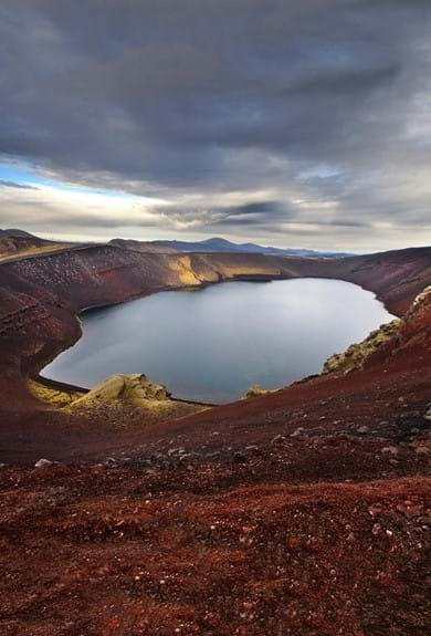
In Skagafjorður lie a few islands. Drangey, Málmey and the one that interests us, Þórðarhöfði. This island can be reached at low tide by two sand bars that connect the island to the mainland. Þórðarhöfði, names after one of the first settler of the area, Þórður, is also the remains of a volcano. The caldera can be clearly seen on the western side of the mountain.

From the top of this 200 meters high hill, the whole fjord lies before your eyes. And not only the fjord, but the cap also hosts a lot of sea birds and anyone interested while deeply enjoy this hike. As per usual, beware of the cliffs.

How to get there:

From Sauðárkrókur, keep following the signs to Hofsós. You should see on your left the Þórðarhöfði cape and the Höfðavatn lake. Turn left at the farm höfði and park your car there. Then just follow the trail to the mountain.

Time: 03:00
Distance: 6 kilometers

Pictures credit by : genevieveromierRúnar Björn Herrera Þorkelsson and CaptainOates

About the Author

IMG Staff Writer

IMG Staff Writer

An anonymous but well informed member of our team that enjoys sharing their knowledge of Iceland & Greenland’s stunning nature.

Reader’s Comments