hiker's favourite
Hiking & Trekking
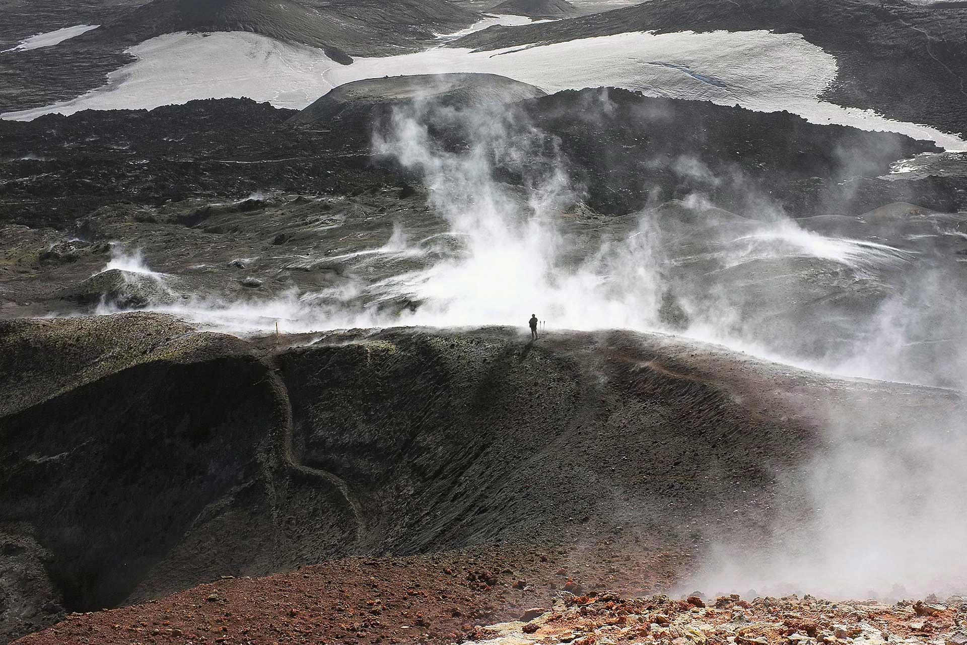
Day Hike over Fimmvörðuháls
Take on the challenge of the Fimmvörðuháls hiking pass in one day, walking by waterfalls and dramatic landscapes between two glaciers, leading you into the heart of the Icelandic Highlands.