Iceland Volcano Updates 2026
| All, DISCOVER ICELAND, Travel Guide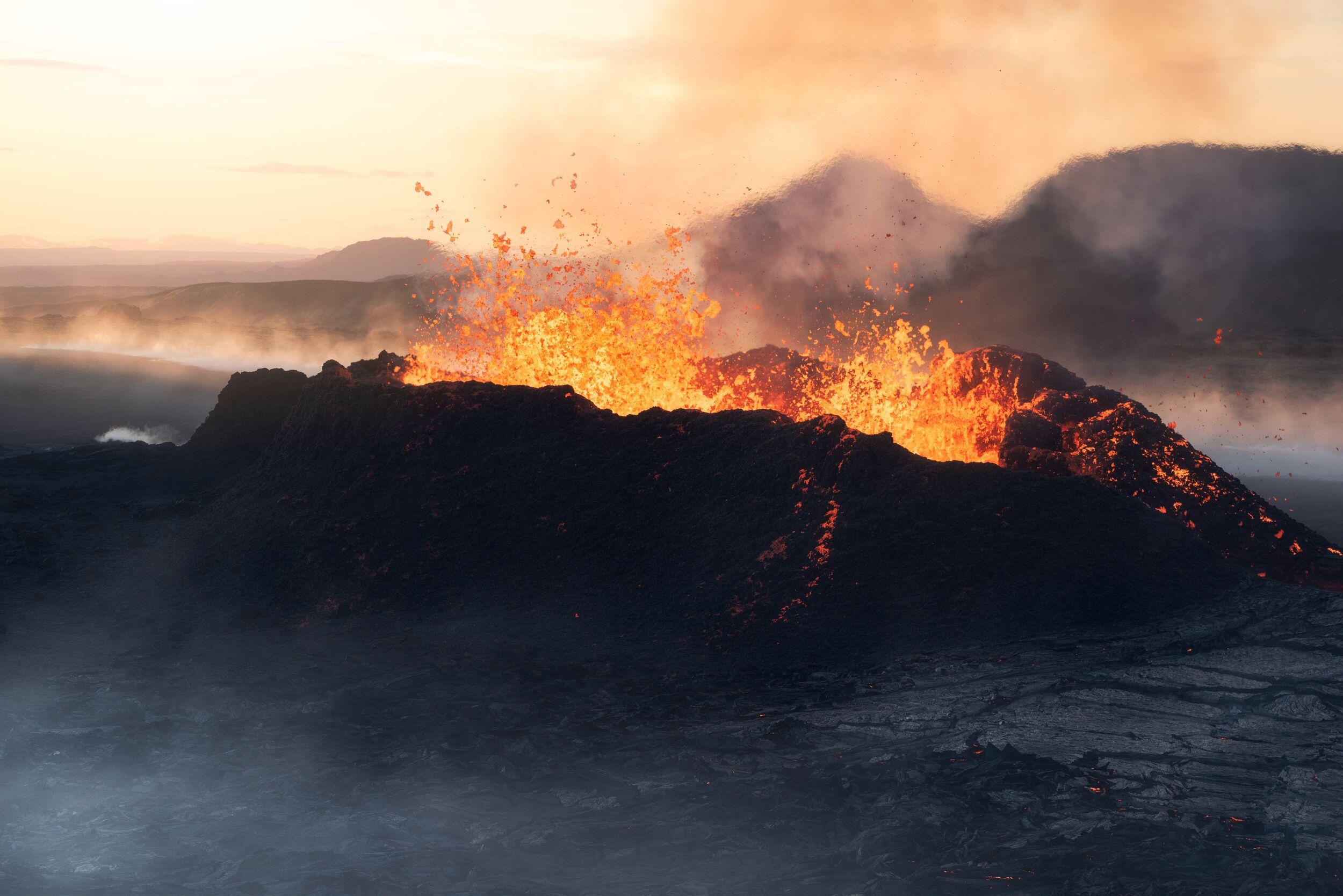
As of 12 October 2026, there is no active volcanic eruption in Iceland. However, volcanic unrest continues beneath Svartsengi on the Reykjanes Peninsula, where magma is still accumulating underground.
Iceland's volcanic landscapes are never quite finished being created.
Lava fields, craters, volcanic mountains and geothermal areas are part of everyday life here. In some places, the landscape was shaped thousands of years ago, while in others, the ground is still changing.
That makes learning about Iceland’s volcanoes in 2026 a little different than reading a standard travel article about the country. The big question is not whether Iceland has active volcanoes (spoiler: it does). The more useful question is where volcanic activity is happening, what scientists are seeing now, and how visitors can experience Iceland's volcanic landscapes safely.
As of 12 October 2026, there is no eruption underway on the Reykjanes Peninsula, but the situation is being closely monitored. Magma continues to accumulate beneath Svartsengi, and the Icelandic Meteorological Office (IMO) considers another magma intrusion and possible eruption the most likely longer-term scenario.
The picture can change quickly though, which is why anyone travelling near an active volcanic system should always check the latest official information before setting out.
Iceland's volcanic landscape: why are there volcanoes everywhere?
Iceland sits on the Mid-Atlantic Ridge, where the North American and Eurasian tectonic plates are slowly moving apart. The country also lies above a mantle plume, creating an unusually active combination of plate movement and magma supply.
The result is a landscape built by volcanic activity and then reshaped by glaciers, rivers, wind and the sea.
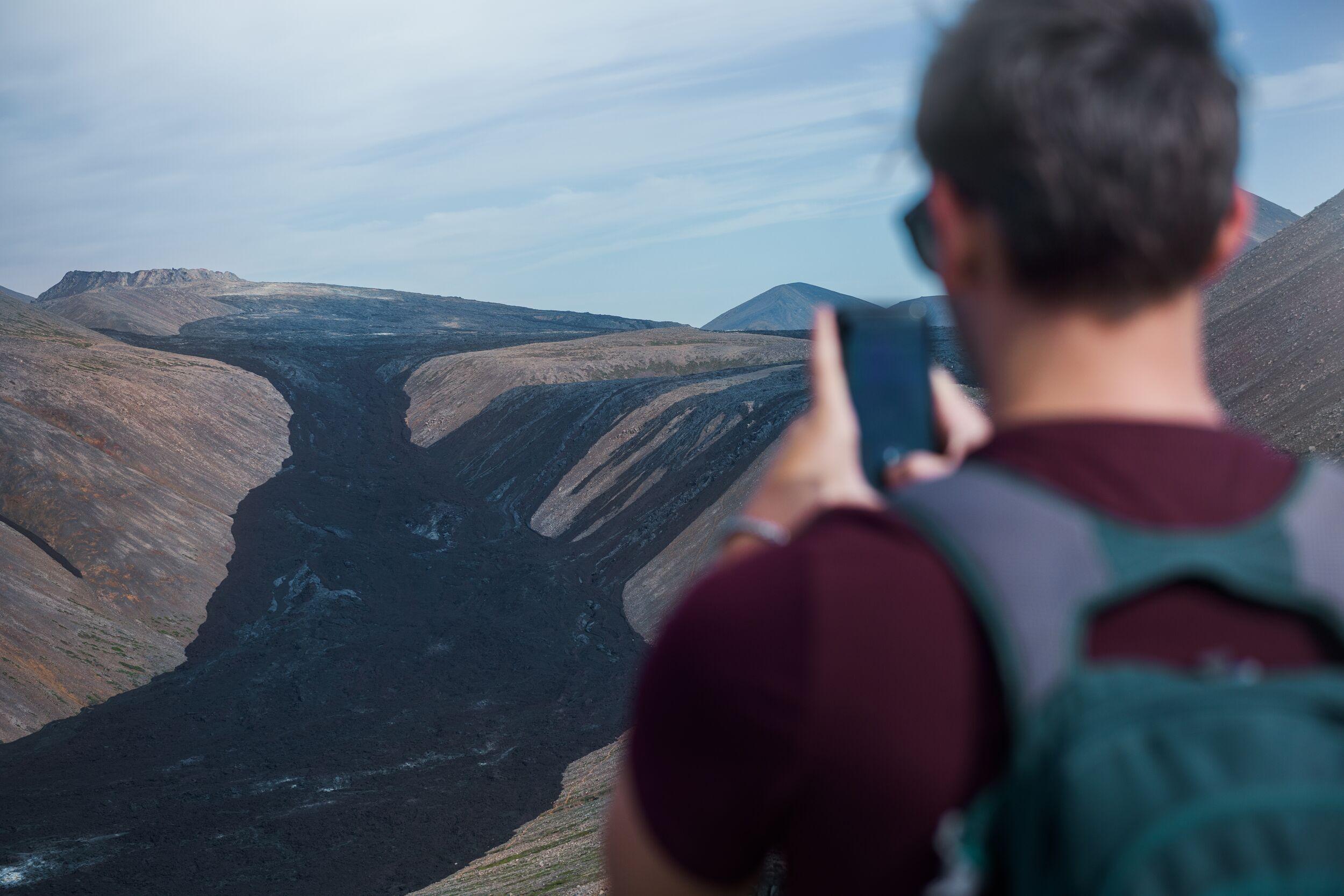
Lava flows have created broad plains and rugged highlands across the country. Eruptions beneath glaciers have produced distinctive ridges and mountains. Explosive eruptions have scattered ash and tephra across the country. Geothermal activity has created hot springs, steaming ground and colourful mineral deposits.
This is why Iceland can feel geologically busy even when no volcano is actually erupting. All the evidence of eruptions past is right there to see.
The relationship between ice and fire is particularly important. Subglacial eruptions can interact with meltwater and ice, while lava flowing across open ground creates entirely different landscapes. Iceland's modern terrain is essentially a record of these processes layered on top of one another.
The Reykjanes Peninsula: several volcanic systems side by side
Headlines in recent years have focused on Reykjanes, but it is useful to think of the peninsula as a much larger volcanic landscape rather than a single volcano.
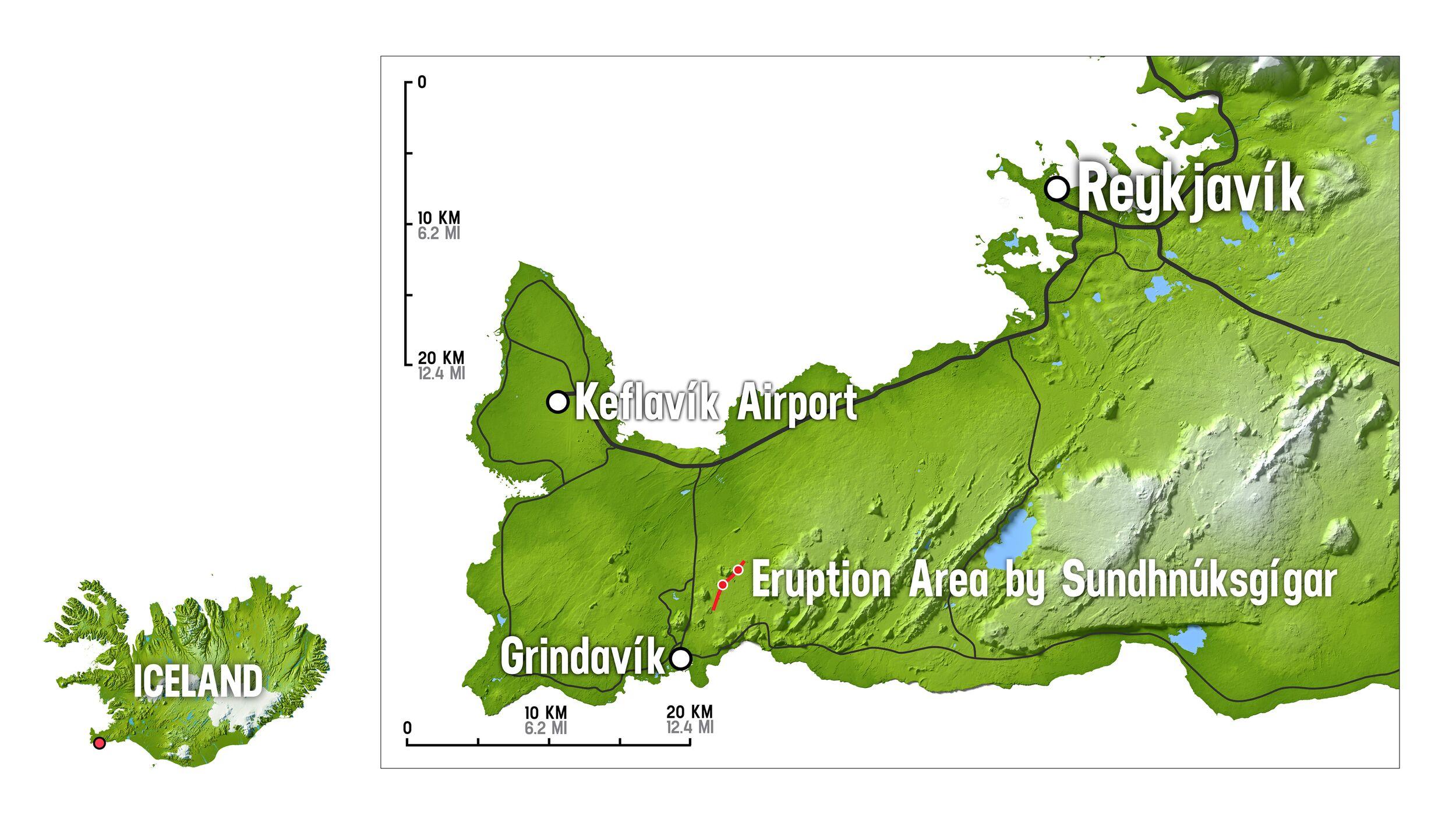
Several volcanic systems run across the peninsula in roughly southwest–northeast directions. They include Reykjanes, Svartsengi, Fagradalsfjall, Krýsuvík-Trölladyngja and Brennisteinsfjöll. Offshore systems also extend the volcanic story beyond the peninsula itself.
These systems are not simply a row of volcanoes waiting to erupt one after another. Each has its own geological structure, meaning activity can shift between different parts of the peninsula.
The Reykjanes system is the westernmost land-based system. Svartsengi — which has been erupting intermittently over the past few years — lies farther east, around the area of the Blue Lagoon and Grindavík. Fagradalsfjall is further east again, while Krýsuvík-Trölladyngja and Brennisteinsfjöll continue towards the southwest of the capital region.
This side-by-side arrangement helps explain why an Iceland volcano update for 2026 needs a little more detail than simply saying “the volcano is active”. Different systems can behave differently, and not all volcanic activity on Reykjanes is part of the same event.
The Reykjanes Fires: a long history of volcanic activity
The recent eruptions are not appearing out of nowhere. The Reykjanes Peninsula has experienced periods of intense volcanic activity separated by long quieter intervals. The previous major eruptive period is known as the Reykjanes Fires, or Reykjaneseldar.
Historical and geological evidence points to a heightened period of volcanic activity on the peninsula from around 950, culminating in the Reykjanes Fires between 1210 and 1240. Written sources mention at least six eruptions during those 30 years, most of them in the sea off Reykjanes, and there were likely more.
The activity was not one continuous eruption. Instead, volcanic systems became active at different times, with earthquakes, magma intrusions and lava-producing eruptions occurring across the region.
Then came centuries of relative quiet.
As an aside: Could you imagine being a settler in Reykjavík and seeing a constant glow of flaming lava on the horizon?
The storied history of Reykjanes makes the events since 2021 particularly interesting. Researchers have noted that the renewed activity follows the broad pattern of earlier eruptive periods on the peninsula, although exactly how the current sequence will develop remains uncertain.
From Fagradalsfjall to Sundhnúkur
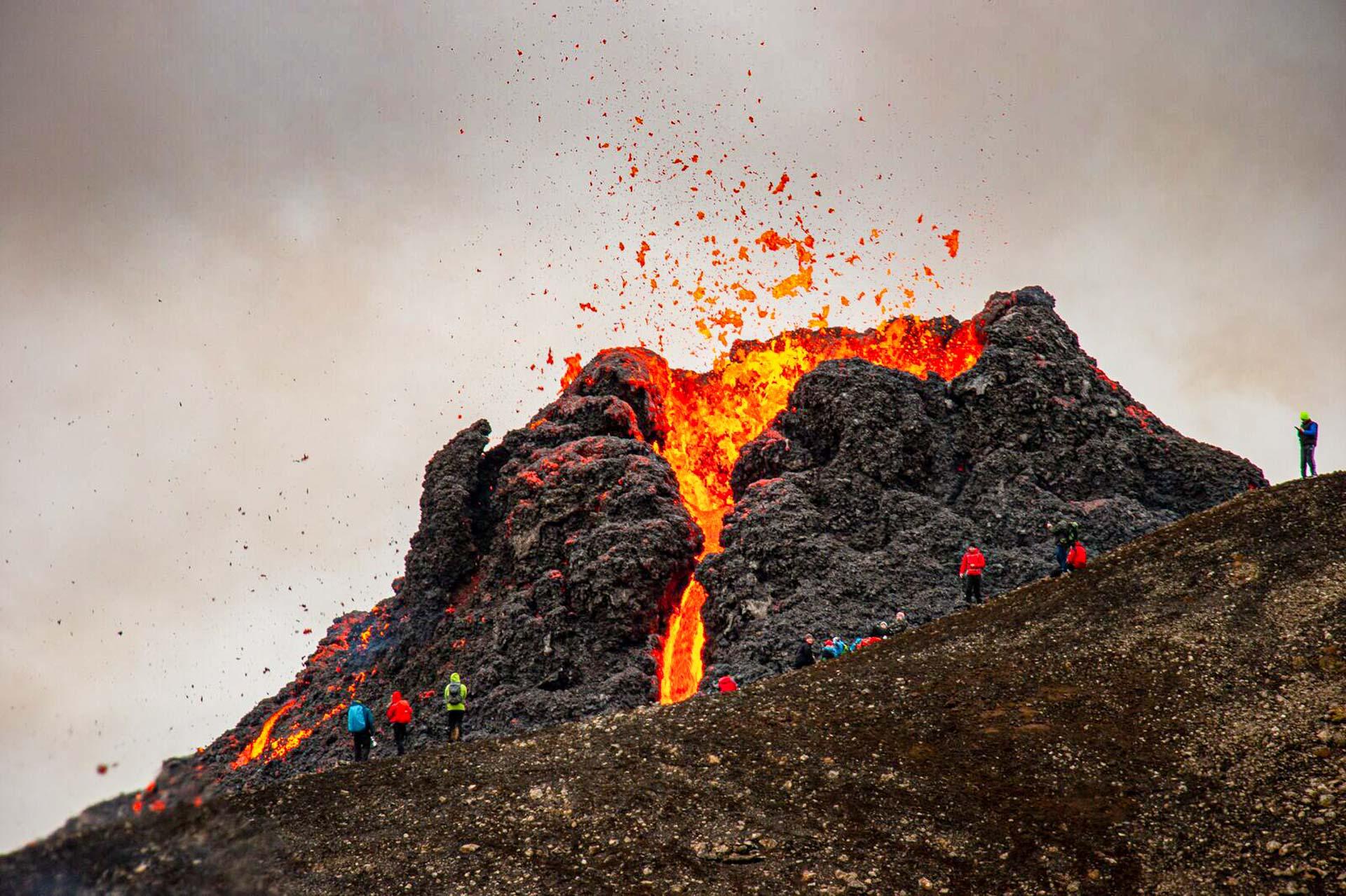
In 2021, an eruption at Fagradalsfjall marked the beginning of a new chapter.
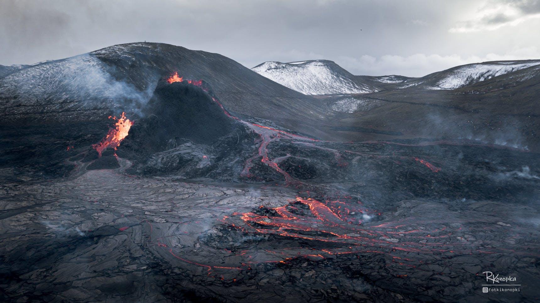
Further eruptions followed in the Fagradalsfjall area in 2022 and 2023. Activity then shifted towards the Svartsengi area and the Sundhnúkur crater row, where repeated magma intrusions and eruptions affected the area around Grindavík.
The most recent eruption began on 16 July 2025, along the Sundhnúkur crater row and officially ended on 5 August 2025.
Since then, there has been no new eruption. But that does not mean the volcanic system has gone back to sleep.
Magma has continued to accumulate beneath Svartsengi, causing measurable ground uplift. The IMO's modelling uses GNSS measurements and satellite-based InSAR data to track these changes.
In August 2026, the IMO estimated that around 29.1 million cubic metres of magma had accumulated beneath Svartsengi since the July 2025 eruption began. Uplift has continued since then, with roughly four centimetres measured over the three months to the end of September 2026.
The Reykjanes–Svartsengi volcanic system has remained at alert level 2 (orange) throughout this pause. In its 30 September 2026 update, the IMO noted that there is no evidence the eruptive episode along the Sundhnúkur crater row is coming to an end, and that magma accumulation can continue for a long time.
The IMO also stresses that the longer the interval since the last event, the greater the uncertainty about the timing of the next one, and that only a short warning should be expected. Previous eruptions on the Sundhnúkur crater row came with between around 20 minutes and just over four hours of warning.
The key point, though, is that this is not an eruption forecast with a specific date.
Scientists cannot say when the next eruption will happen. The current assessment is that another intrusion from Svartsengi towards the Sundhnúkur crater row remains the most likely scenario, but the timing is uncertain.

The key point, though, is that this is not an eruption forecast with a specific date.
How Iceland monitors volcanic activity
Iceland's volcanic systems are monitored around the clock. The Icelandic Meteorological Office uses several types of information to build a picture of what is happening underground and at the surface.
These include:
- Seismic data from earthquakes and volcanic tremor.
- GNSS/GPS measurements showing whether the ground is moving.
- Satellite InSAR data that can detect very small changes in ground elevation and deformation.
- Gas measurements where volcanic or geothermal gases are a concern.
- Webcams and other observations that can help identify visible changes — these are also fascinating viewing when an eruption is ongoing.
No single measurement tells the whole story. Scientists combine the data with geological knowledge and models to assess what the volcanic system is doing.
It is also worth knowing that Iceland uses two different colour systems. The aviation colour code is designed to communicate volcanic risk to aviation, while the Volcano Alert Level System is intended to communicate potential hazards on the ground. The two systems can therefore show different colours at the same time.
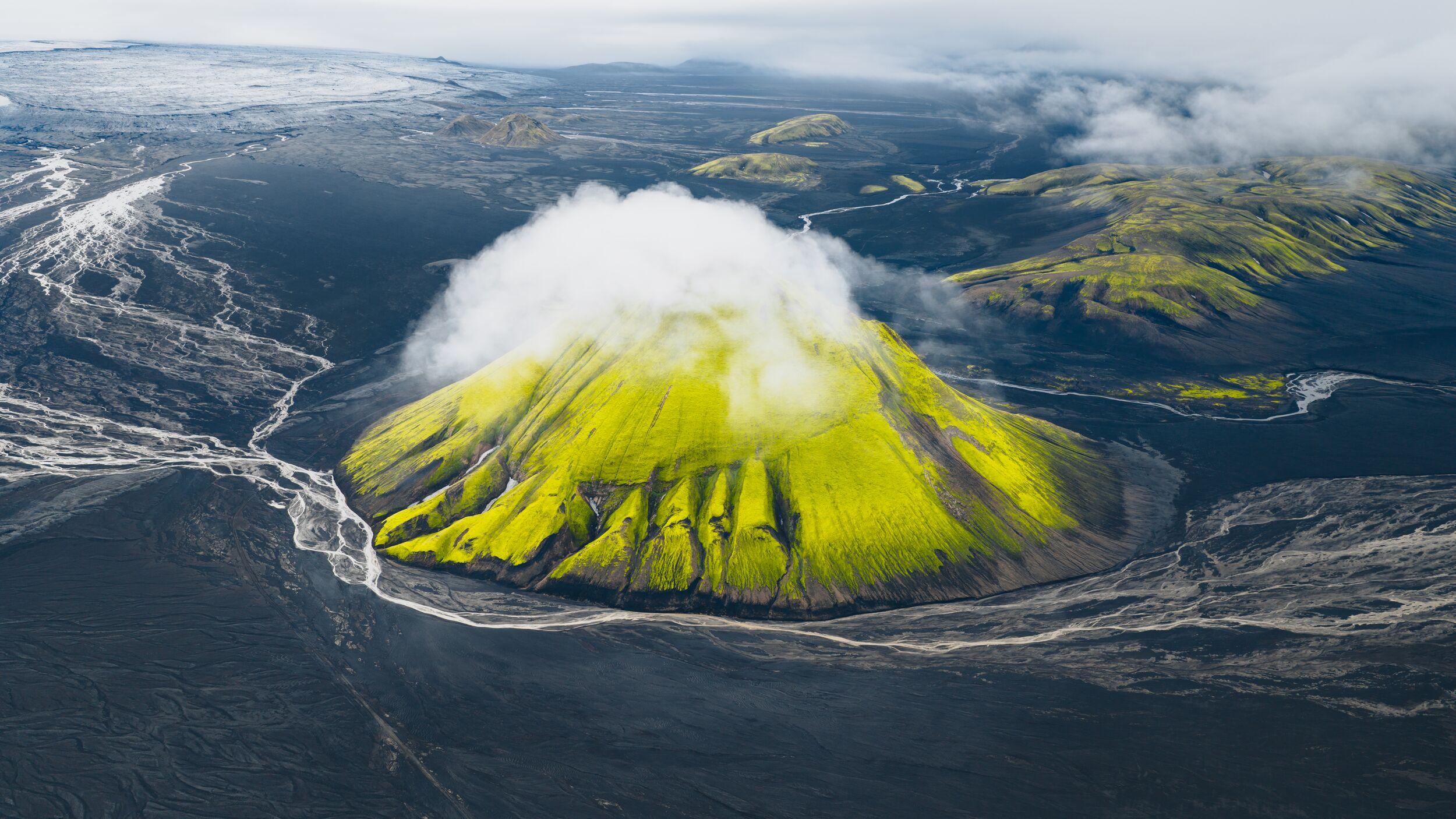
The latest Iceland volcano update: what should you watch?
If you are planning a trip, check the latest Iceland volcano update shortly before travelling and again before visiting an active volcanic area.
The key things to watch are:
- Is there an eruption underway?
- Has a new hazard map been issued?
- Are roads, trails or specific areas closed?
- Has seismic activity or ground deformation changed?
- Are there warnings about volcanic gases?
- Could volcanic activity affect flights or other travel plans?
The answer to “Is there a volcano erupting in Iceland?” can change quickly — Iceland is an active volcanic country, after all. But an active volcanic system does not mean an eruption is happening at that moment.
So, what does volcanic activity in Iceland in 2026 mean for travellers?
For visitors, the situation is far more nuanced than “Iceland is volcanic, so everything is dangerous.” That’s just not the case.
Most of Iceland remains completely unaffected by the current Reykjanes unrest. Volcanic activity is highly localised, and access restrictions are based on the specific hazards in an area.
The sensible approach to travelling in Iceland right now is simple:
- Check the latest Icelandic Meteorological Office updates before visiting volcanic areas.
- Follow current closures, hazard maps and instructions from local authorities.
- Never cross barriers or enter restricted areas.
- Be especially cautious around fresh lava, unstable ground and volcanic gases.
- Remember that an area can remain hazardous even after an eruption has ended.
- Whether it’s steaming or not: don’t walk on the lava.
There are also plenty of ways to experience Iceland's volcanic geology without approaching an active eruption site.
Volcanic Wonders with a Grindavík visit
The Reykjanes Peninsula is one of the most accessible places to see Iceland's volcanic landscape.
The Volcanic Wonders tour combines geothermal features around Seltún with young lava fields around Fagradalsfjall and a visit to Grindavík, which was evacuated amid intense seismic and volcanic activity. The landscape shows several sides of volcanic Iceland: steaming ground, lava fields, volcanic craters and communities shaped by living alongside geological change.
Fimmvörðuháls Day Hike
You do not have to visit Reykjanes to see relatively young volcanic landscapes.
The Fimmvörðuháls Day Hike route crosses between Eyjafjallajökull and Mýrdalsjökull, passing the craters Móði and Magni, formed during the 2010 eruption. The route also includes waterfalls, lava fields, snow and high mountain terrain.
It is a demanding day hike, and conditions can change rapidly at altitude. Experienced guides are particularly useful here because the route crosses exposed terrain between two glaciers.
Þórsmörk hiking adventure
Þórsmörk gives you another view of Iceland's volcanic character.
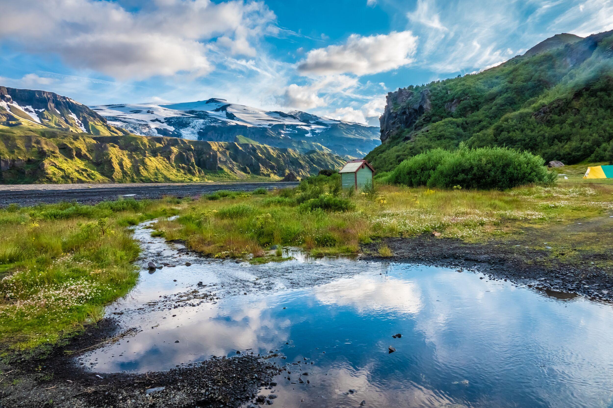
The valley sits between glaciers and contains lava fields, volcanic formations, rivers and birch woodland. On the Fimmvörðuháls day of the four-day adventure, you can see the 2010 lava flows and the Móði and Magni craters before returning to the greener valleys of Þórsmörk.
Experience it on the Þórsmörk Hiking Adventure.
Laugavegur Trek
The Laugavegur Trek is a good reminder that volcanic landscapes are much more than black lava.
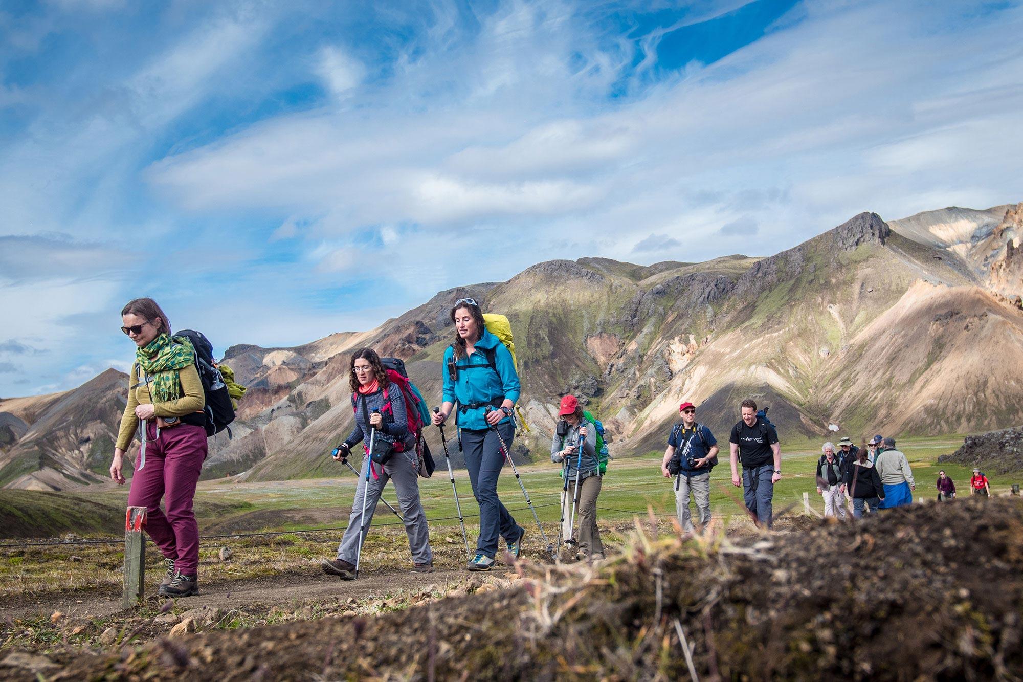
The trail crosses the colourful rhyolite mountains around Landmannalaugar, geothermal terrain, black-sand deserts and the Emstrur region before descending into the green valleys of Þórsmörk.
You can see volcanic history changing from one landscape to the next over several days.
Fjallabak hiking tour
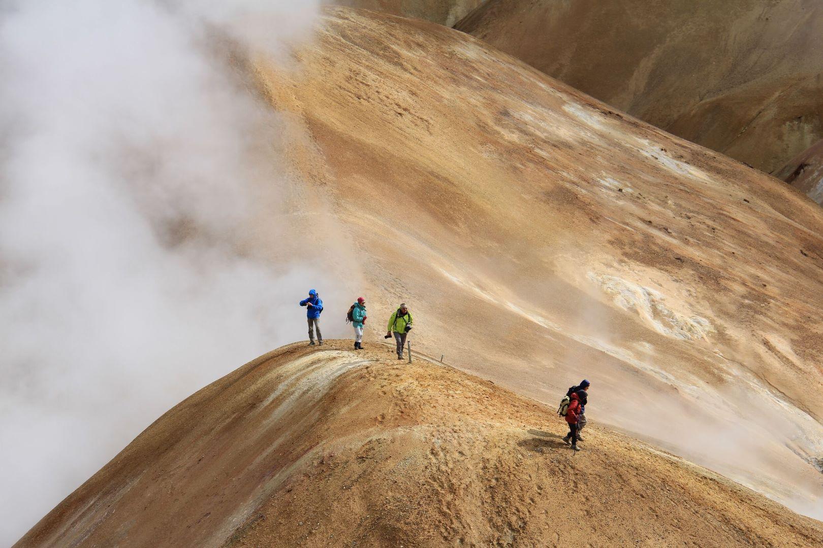
For a quieter volcanic experience, Fjallabak offers colourful rhyolite mountains, lava fields, geothermal hot springs and remote highland terrain.
The Fjallabak Hiking Tour is a nice option if your interest is less about seeing a fresh eruption and more about understanding the volcanic processes that have shaped Iceland over much longer periods.
Explore Iceland's Volcanic Landscapes
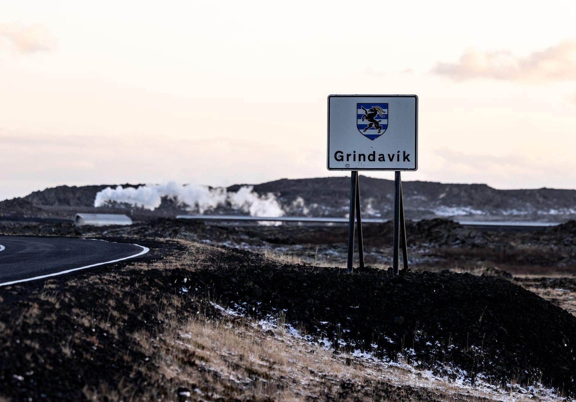
Volcanic Wonders with Grindavik Visit
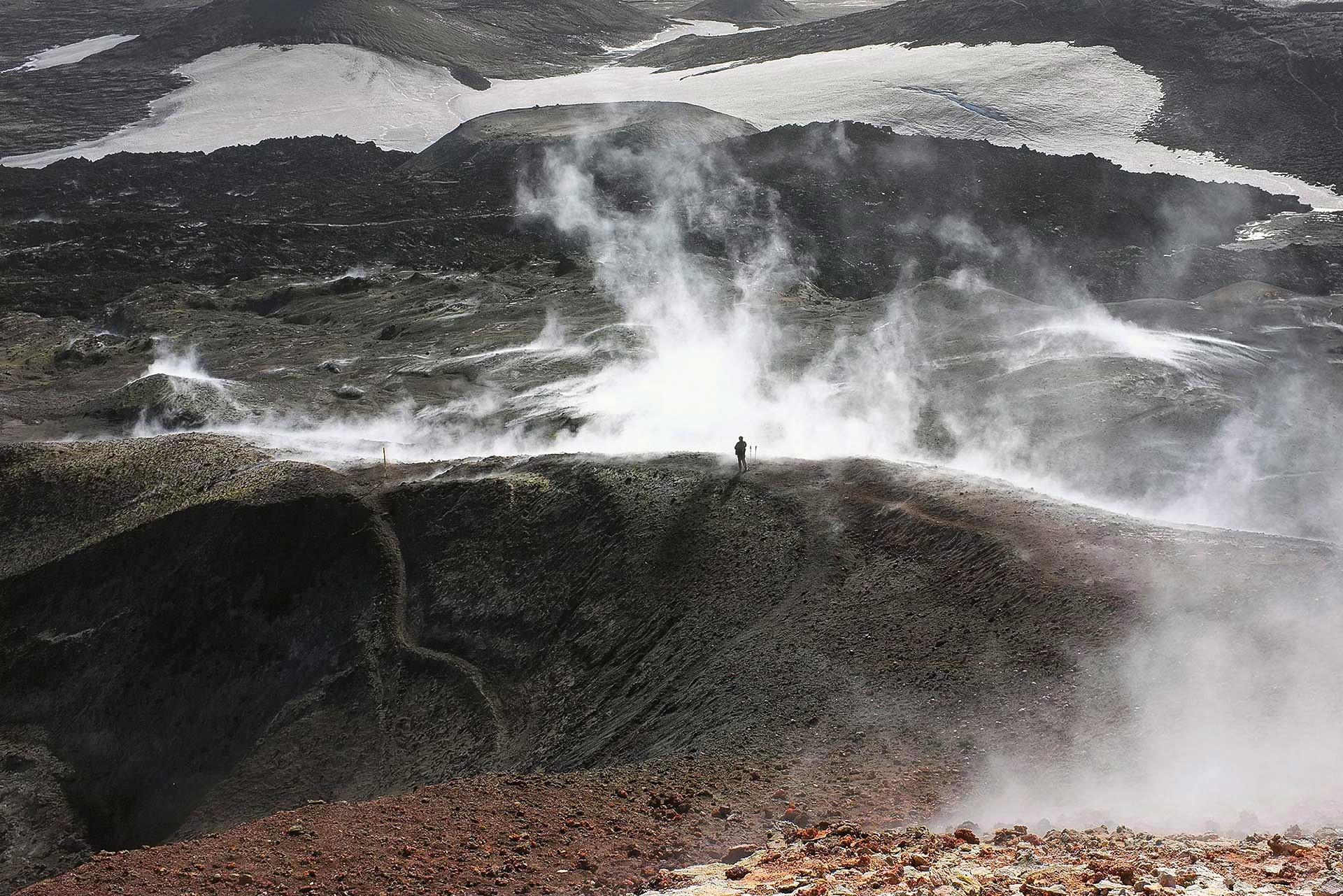
Day Hike over Fimmvörðuháls
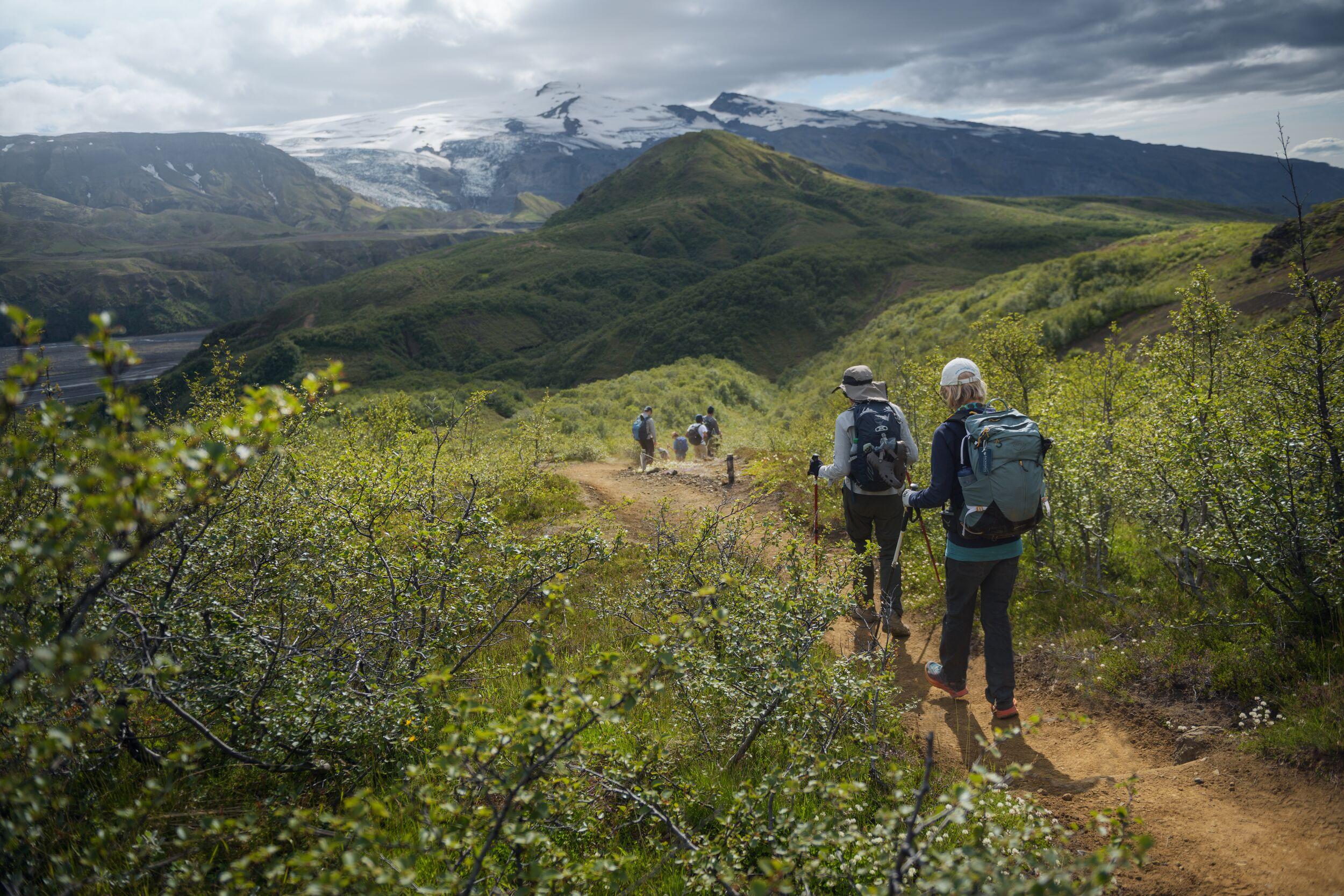
4-Day Thorsmork Glacier Valley Hiking Adventure
Laugavegur Trek Classic (Huts)
Off the Beaten Path in Fjallabak Nature Reserve
Hengill Geothermal ATV Tour Near Reykjavík – 1.5 Hours
Volcano Valley ATV Tour Near Reykjavík – 2.5 Hours
For travellers, the best way to experience Iceland's volcanic landscapes is not to chase an eruption. It is to understand the landscape, follow current safety information and explore with people who know the terrain.
Iceland's landscape is still being made
The most interesting thing about Iceland's volcanic activity in 2026 is perhaps not whether lava is flowing today. It is the realisation that the landscape around you is still part of an ongoing geological process.
The lava fields of Reykjanes are not just old rocks. The mountains of the Highlands are not just stunning scenery. The geothermal areas, volcanic craters, black-sand plains and young lava fields all record different stages of Iceland's relationship with magma, ice and water.
The recent eruptions have made that process visible to a new generation of visitors. They have also shown why careful monitoring and responsible travel matter.
For travellers, the best way to experience Iceland's volcanic landscapes is not to chase an eruption. It is to understand the landscape, follow current safety information and explore with people who know the terrain.
Frequently Asked Questions
Is there a volcano erupting in Iceland right now (October 2026)?
No. As of 12 October 2026, there is no reported volcanic eruption underway in Iceland.
The situation on the Reykjanes Peninsula is being closely monitored, however. Magma continues to accumulate beneath Svartsengi, and the Reykjanes–Svartsengi volcanic system remains at volcano alert level 2 (orange). The Icelandic Meteorological Office considers a new magma intrusion, potentially leading to an eruption, the most likely scenario, but it cannot say when this might happen.
For the most up-to-date information, check the Icelandic Meteorological Office before travelling to volcanic areas.
Will Iceland erupt again in 2026?
It is possible, but nobody can say when or whether an eruption will happen.
On Reykjanes, the Icelandic Meteorological Office considers a new magma intrusion from Svartsengi towards the Sundhnúkur crater row, potentially followed by an eruption, to be the most likely scenario. The current period of increased likelihood is expected to continue as magma accumulates, but the timing of any new event remains uncertain.
In other words, an Iceland volcano eruption in 2026 is possible, but it should not be treated as a prediction. Volcanic systems can change quickly, which is why monitoring and official safety information are more useful than trying to predict an eruption date.
Is Grindavík safe to visit?
Grindavík remains an area of active volcanic and geological hazard, so visitors should not treat it like an ordinary tourist destination.
At the same time, Icelandic authorities' revised September 2026 risk assessment found that daily safety in the built-up area of Grindavík within the protective barriers was considered acceptable, provided that monitoring, safety measures and emergency preparedness remain in place.
Conditions can change, and the town has previously been evacuated at short notice. Visitors should therefore follow current access restrictions and local instructions and never enter closed areas.
Icelandic Mountain Guides currently offers a guided Volcanic Wonders with Grindavík Visit tour, with access and the itinerary subject to the conditions in place at the time of the tour. A guide also provides useful context about the volcanic activity and the changes to the landscape.
Are flights to Iceland affected by the volcano?
No. None of the eruptions on the Reykjanes Peninsula since 2021 has disrupted flights to or from Iceland. Keflavík International Airport has stayed open throughout, even though it sits on the same peninsula.
That is because these are effusive fissure eruptions, which produce lava rather than the large ash clouds that affect aircraft. The widespread flight disruption many people remember came from the 2010 eruption of Eyjafjallajökull, an ice-capped volcano in South Iceland that produced a very different, ash-rich plume.
The Icelandic Meteorological Office still monitors aviation risk separately, using an aviation colour code. If you are travelling during a period of volcanic unrest, your airline and Keflavík Airport are the best places to check for updates.
Can tourists visit the Iceland volcano?
That depends on which volcanic area you mean and what is happening there at the time.
Visitors cannot simply approach an active eruption or enter a restricted volcanic area. Fresh lava, unstable ground, volcanic gases and sudden changes in activity can all create serious hazards, even when an eruption looks quiet.
There are, however, many safe ways to experience Iceland's volcanic landscapes. Guided trips can take you to established viewpoints and volcanic areas when access is permitted. Icelandic Mountain Guides' Volcanic Wonders tour, for example, explores the Reykjanes volcanic landscape, including geothermal areas, young lava fields and Grindavík, with an experienced guide.
Always follow current closures, marked routes and instructions from local authorities rather than relying on older photographs, maps or social media posts.
What is the most active volcano in Iceland?
Grímsvötn is the most active volcanic system in Iceland when measured by the number of eruptions in historical and recent geological records. The Icelandic Meteorological Office records around 70 eruptions from the Grímsvötn system during the past 1,100 years.
The system is beneath the Vatnajökull ice cap, so its eruptions can involve interactions between magma and ice.
Other Icelandic volcanoes are also highly active. Hekla is the third most active volcanic system in Iceland in historical time, while Katla is the fourth. The term “most active” can therefore mean different things depending on whether you are looking at eruption frequency, recent activity or another measure.
Keep me informed about the Icelandic Mountain Guides Blog
Outdoor adventure in Iceland is our specialty. Subscribe to our free monthly newsletter to learn when to go, what to do and where to have the best adventures in Iceland.
Related Blog Posts
Related Tours
Volcanic Wonders with Grindavik Visit
Day Hike over Fimmvörðuháls
4-Day Thorsmork Glacier Valley Hiking Adventure
Laugavegur Trek Classic (Huts)